
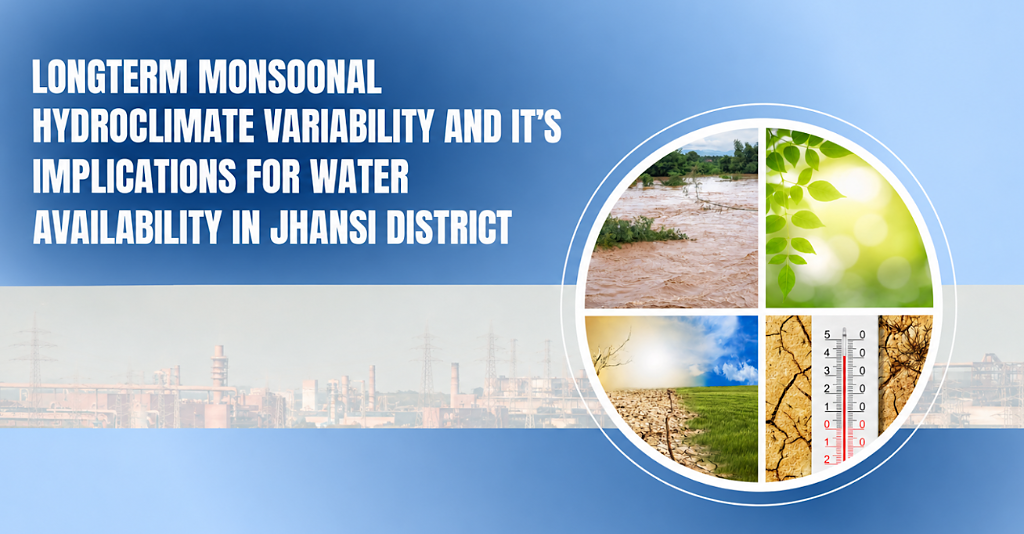
Longterm Monsoonal Hydroclimate Variability & Its Implications for Water Availability
in Jhansi District, Bundelkhand, Uttar Pradesh
Comprehensive 28-page analysis of IMD gridded rainfall (1901–2024, 0.25°×0.25°) evaluating how declining monsoon reliability, increasing dry spells, and high intra-seasonal intermittency restrict groundwater recharge across all 8 administrative blocks.
vs 1,200 mm in East UP
(≥ 2.5 mm per season)
(intermittent spells)
1901–2024 records
Compounding Hydroclimatic Pressures in Jhansi
Hover over any card — or click a stat in the hero — to flip and reveal the empirical finding from the 28-page research assessment.
Jhansi sits at the dry tail of Uttar Pradesh's monsoon gradient. Total seasonal rainfall is 630–900 mm, leaving virtually no safety buffer when dry spells occur.
Across the 122-day monsoon season, Jhansi records fewer than 40–50 wet days (≥2.5 mm). Highly stressed blocks such as Moth, Bamaur, Gursarai, and Chirgaon show a continuous downward trend.
Jhansi experiences more than 65 dry days (≤1.0 mm) between June and September. These prolonged breaks dry out topsoil and force unbudgeted groundwater pumping.
Moth, Bamaur, Gursarai, and Chirgaon face declining rainfall across both summer and monsoon seasons, resulting in near-total recharge failure and perennial drought.
Block-by-Block Hydroclimatic Risk Profiler
Select any of Jhansi's 8 administrative blocks to examine data-derived indicators of dry spells, wet days, and climate risk based on Table 2 of the research report.
in the report
Get rainfall trends, temperature indices, and risk profiles for all 8 blocks.
Get the Complete
28-Page Research Report
Includes all 4 empirical spatial maps, 3 supplementary trend figures, block-level hydroclimatic indicators, and 8 policy-ready water adaptation recommendations. Free PDF download.
Instant Free PDF Download
Full methodology, IMD observational dataset details (1901–2024), block-level risk matrices, and complete citations.