ClimIntellio Climate Data Platform
ClimIntellio Climate Intelligence for Insurance, Banking, Agriculture, ESG & Research. API-ready climate hazard intelligence built from decades of climate data. Scientifically robust. Institution-ready. Hazard, not risk.
From Climate Data to Decision-Ready Intelligence
Centennial & Future Horizons
ClimIntellio integrates long-term historical climate records (from 1901) with future climate projections extending to 2100, enabling users to analyze past variability, identify long-term trends, and explore plausible future conditions under multiple climate scenarios.
Multi-Level Spatial Coverage
Access climate intelligence across multiple spatial scales-from national and state-level summaries to district and sub-district level. Designed to bridge regional overviews and local decision contexts seamlessly.
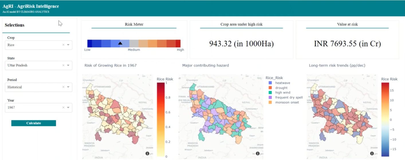
Comprehensive Climate Hazard Indicators
Monitor key climate hazards, including drought, flood, heat stress, dry and wet spells, and extreme temperature conditions, etc. Understand how multiple hazards impact agricultural and business outcomes.
From Data to Decisions
Our streamlined process transforms complex climate data into actionable intelligence for your research and operations.
Data Harmonization
We aggregate and clean climate data from multiple sources — satellite, ground stations, and models — creating consistent datasets.
AI Processing
Our algorithms analyze climate patterns and compute various impact-relevant metrics and hazards at various admin boundaries (Such as, sub-district, district, zone, etc.).
Decision-ready information
Generate impact-relevant metrics and hazard scores at various admin levels with temporal projections upto 2100.
Instant Delivery
Access analysis-ready data via Web Portal, CSV downloads, or seamless API integration.
"Climatics transforms complex climate data into ready-to-use intelligence — accessible, reliable, and actionable."
Climate Data Intelligence
Hydroclimatic Variability & Water Availability — Jhansi, Uttar Pradesh
ClimIntellio was used to analyse long-term hydroclimatic trends in Jhansi district, generating district-level rainfall variability, drought frequency, and future water availability projections under SSP scenarios. The study supported evidence-based water resource planning for the region.
Built for Climate-Driven Decisions
Climatics empowers diverse sectors with harmonized climate and hazard datasets.
Research Institutions & Universities
Academic ResearchAccess harmonized, long-term climate hazard intelligence to support reproducible research without the burden of raw data processing.
- ✓ Faster research cycles with analysis-ready data
- ✓ Transparent, publication-ready methodologies
- ✓ Reduced data preparation and duplication of effort
Insurance & Reinsurance
Risk ManagementClimate hazard intelligence to support underwriting analysis, portfolio assessment, and parametric product design.
- ✓ Hazard-informed premium differentiation
- ✓ Spatial hazard mapping across portfolios
- ✓ Consistent long-term hazard baselines
Banking & Financial Institutions
Financial ServicesClimate hazard screening to support agricultural lending, portfolio exposure analysis, and climate disclosures.
- ✓ Climate-informed credit assessment
- ✓ Portfolio-level hazard screening
- ✓ Support for climate and ESG disclosures
Government & Disaster Management Authorities
Public SectorClimate hazard intelligence to support disaster preparedness, climate adaptation, and public planning at administrative scales.
- ✓ District- and state-level hazard mapping
- ✓ Long-term climate trend indicators
- ✓ Evidence-based support for resilience planning